Arrival to Washinton, DC, via Chicago
シカゴ経由でワシントン市に到着
Arrival to Washinton, DC, via Chicago シカゴ経由でワシントン市に到着 |
Tokyo to Washington, DC, via Chicago
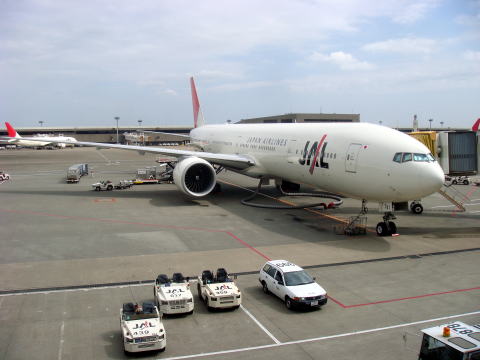
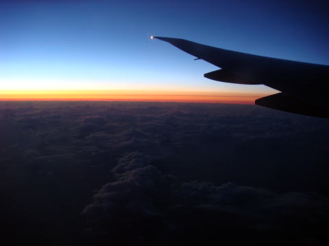
(L) JAL aircraft to Chicago at Narita International Airport (R) Crossing an international date line at dusk
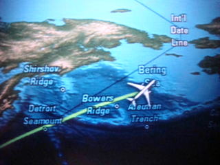
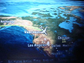
Fly through Bering Sea and over Canadian Rockies
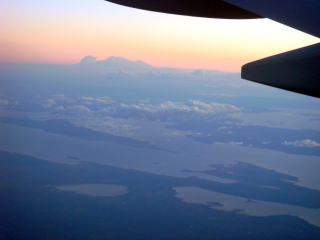
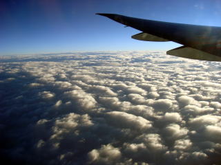
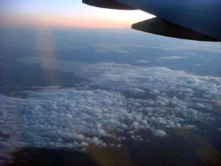
Flying above the cloud to the Chicago O'Hare Airport
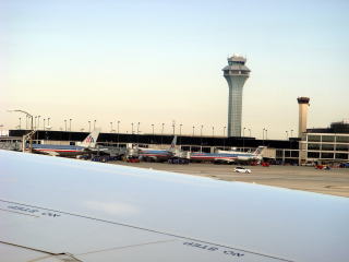
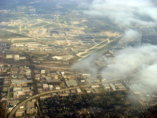
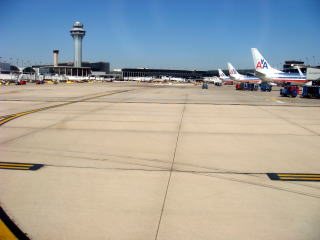
Chicago's O'Hare Airport
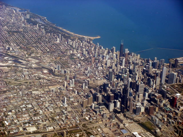
(L) The business district of Chicago (R) To Washington DC, by American Airline
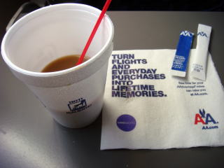
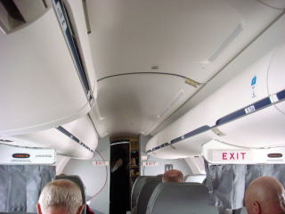
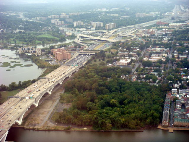
(L) A coffee service by American Airlines (R) Interstate Freeways at the Washington metropolitan area
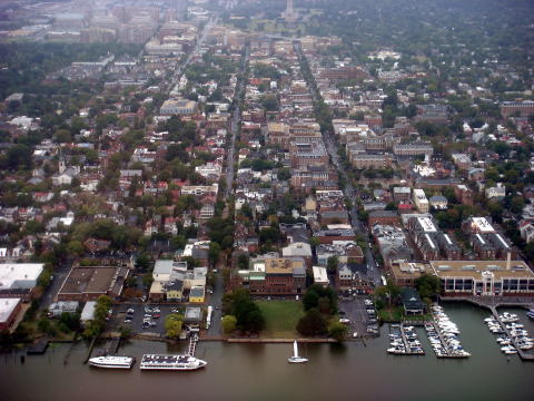
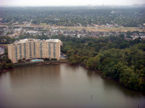
(L)Towns faced to the Potomac River (R) A condominium and a park along Potomac River, Washinton, DC
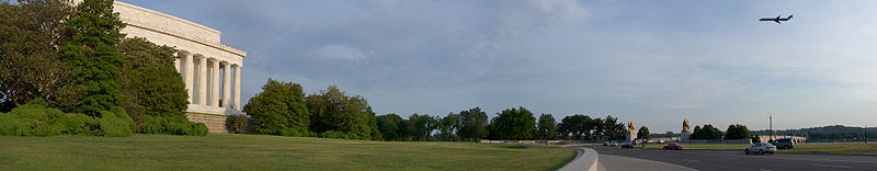
A plane flying over the river, approaching by the Lincoln Memorial
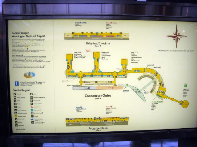
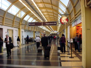
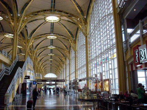
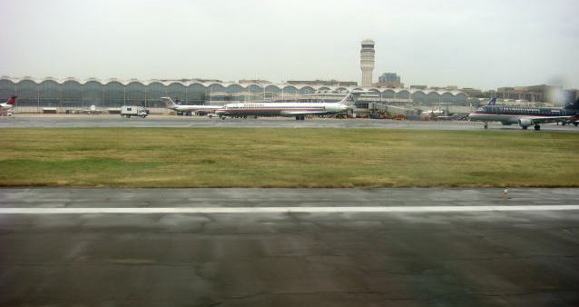
Ronald Reagan Washington National Airport
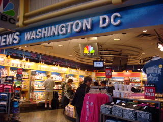
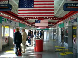
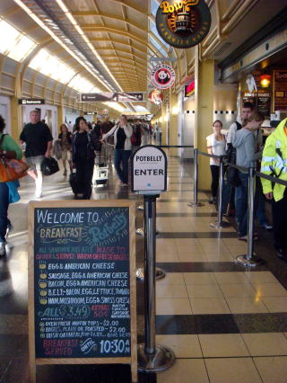
An airport shop and a concourse of the National Airport
Ronald Reagan Washington National Airport
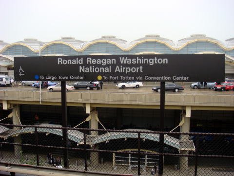
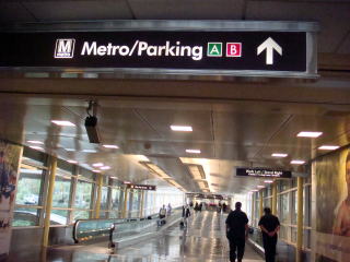
Metro railway station of Ronald Regan Washington National Airport
The River Visual approach was instituted due to safety and noise abatement concerns. The approach,
which follows the course of the Potomac River, is only possible with a ceiling of at least 1,067 m and
visibility of 4,828 m or more. There are lights on the Key Bridge, Theodore Roosevelt Bridge, Arlington
Memorial Bridge, and the George Mason Memorial Bridge to aid pilots following the river. Aircraft using
the approach can be observed from various parks on the river's west bank. Source: Wikipedia
ワシントンDCへの道のりは遠い。もう何度となく、中継ハブとして寄港してきたシカゴのオヘヤ空港まで12時間、
それからアメリカン航空に乗り継いでワシントンまで約2時間かかる。ワシントン・ロナルド・レーガン空港が
近づくにつれ、航空機はポトマック川に沿って少しつつ機首をさげながらゆっくりと着陸したが、この間、
ポトマック周辺の景色を上空から堪能させてくれる。市内へのアクセスは良く、空港からはワシントン・メトロで
容易に市内に到達出来る。
2015年1月30日 All passengers feared dead after American Eagle jet and Army helicopter collide
and crash into Potomac River 米軍ヘリコプターとAmerican Eagle Flight がレーガン空港近くで空中衝突
NBC NEWS
Washington, D.C.
Arrival to Washington, D.C.
Ontario,Canada and Michigan, USA
シカゴ経由でワシントン市に到着
2010年10月執筆 医学博士 宮本順伯
★This Web site is link-free.
The article was written and photographs were taken by Dr. J. miyamoto, in October 2010.
Copyright (C) 2010 Junhaku Miyamoto, PhD. All right is reserved.
National Capitol, Washinton, DC  |
Smoke-free Hotel and Travel
世界の鉄道レンタカー航空旅行ホテル喫煙規制情報サイト
Restaurant hotel railway rent-a-car travel airport condominium smoking
ban
![]()
 Twitter@34worldcountries Twitter@smokefreejpn Twitter@criticismjpn Twitter@worldvideojpn